Findlay Creek
A suburban neighbourhood in Ottawa's south end, with a young, mostly owner-occupied population.
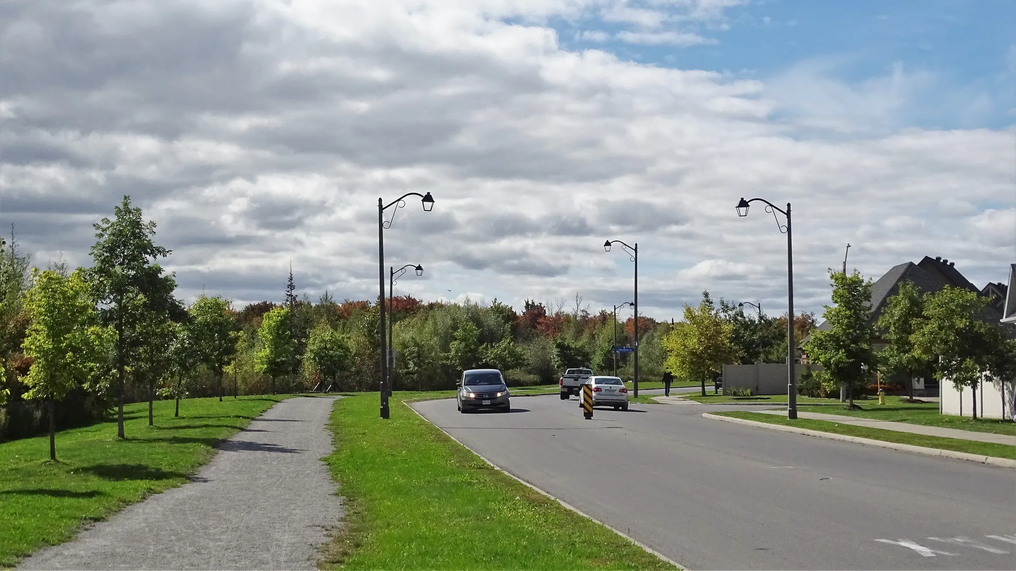
Findlay Creek is a suburban neighbourhood in Riverside South-Findlay Creek Ward, in the south end of Ottawa. Population: 14,280 (2021).
Updated · Facts on this page link to their sources
About Findlay Creek
Findlay Creek is a suburban neighbourhood in Riverside South-Findlay Creek Ward, in the south end of Ottawa. The 2021 census counted 14,280 residents and 4,470 private dwellings, with a median age of 32.8 and an average household size of 3.2 (via the Ottawa Neighbourhood Study). 87.5% of households own their home. The area has three elementary schools in City data, 22 parks and a tree canopy of 39.4% in 2024.
Boundaries
Ottawa Neighbourhood Study area 'Findlay Creek'. ons-sqo.ca ons-sqo.ca
Homes
In the 2021 census (via the Ottawa Neighbourhood Study), 45.2% of dwellings in Findlay Creek were single-detached houses, 31.9% were row houses and 16.9% were semi-detached. Apartments in buildings under five storeys made up 5.8%, and none were in buildings of five or more storeys (0.0%). 87.5% of households owned and 12.5% rented, and the median owner-estimated value of owned dwellings was $700,000. ons-sqo.ca
- Population of 14,280 and 4,470 private dwellings (2021 census, via the Ottawa Neighbourhood Study)
- Median age 32.8; children aged 0–14 are 24.1% of residents (2021)
- 87.5% owner households and 12.5% renter households (2021)
- Three elementary schools in City data: two OCDSB and one OCSB
- 22 parks in the guide area; tree canopy 39.4% (2024)
- O-Train Line 2 at Leitrim station, about 2.2 km away in a straight line
Community
How Findlay Creek came to be
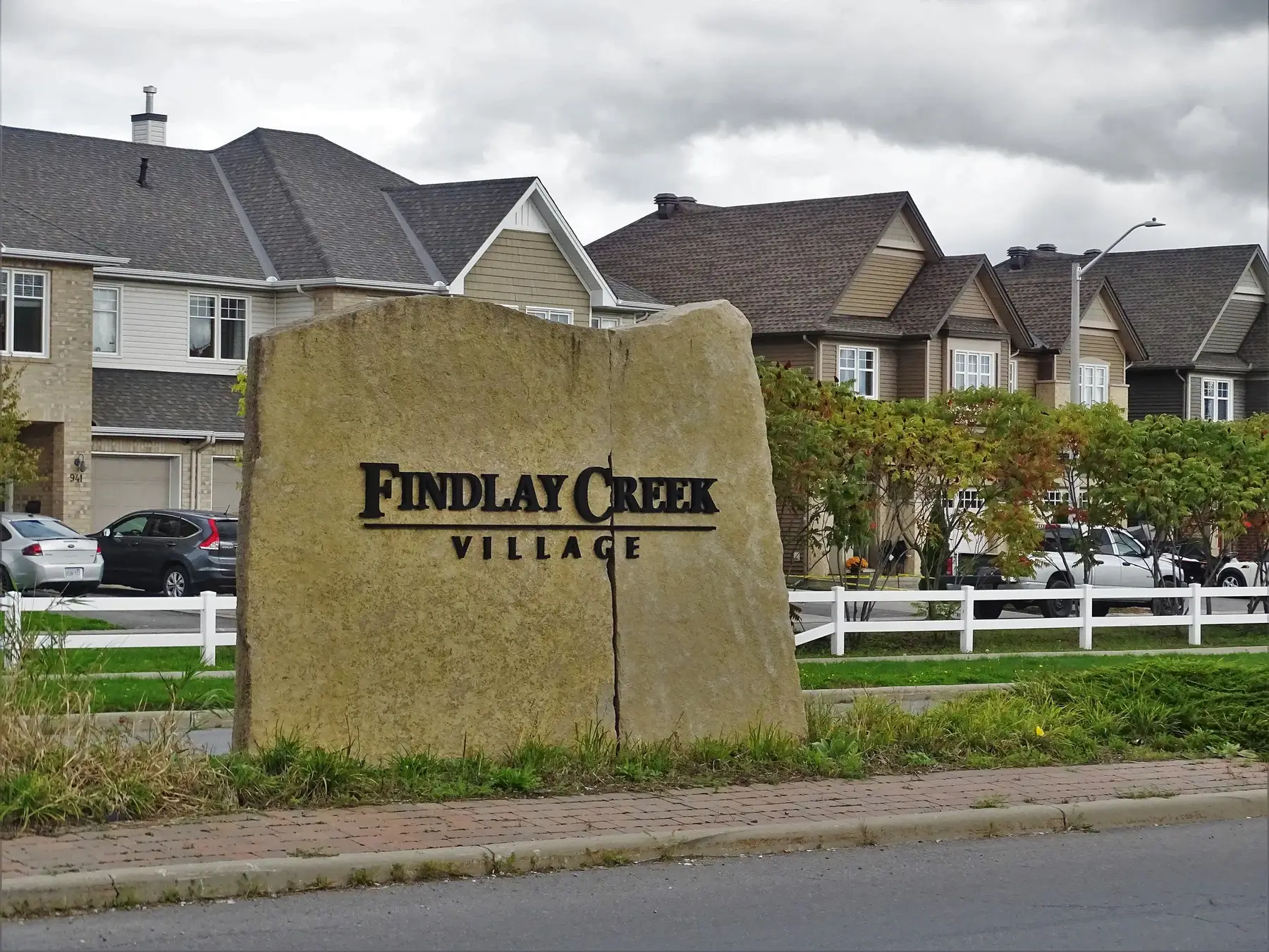
- 1988
In May 1988, the Regional Municipality of Ottawa-Carleton began rezoning this future urban area. Before development, the area was primarily undeveloped, with a mix of residential, industrial and institutional uses. en.wikipedia.org
- 1989
Official plans were released in May 1989 with Leitrim Official Plan Amendment No. 10. Groups such as the Ottawa Field Naturalists Club objected because of the sensitive wetland system the subdivision would partly destroy, but the plans went forward. en.wikipedia.org
- 2003
The Leitrim Community Design Plan was initiated in November 2003 to develop the community with a mix of land uses and housing types. en.wikipedia.org
- 2017
Vimy Ridge Public School, a public elementary school for JK to Grade 6, opened in September 2017. en.wikipedia.org
- 2020
A plan to widen Bank Street along Findlay Creek was announced in 2020. en.wikipedia.org
- 2022
Work on the Bank Street widening began in 2022. en.wikipedia.org
- 2024
St. Veronica Catholic School, an elementary school for JK to Grade 6, opened in September 2024. en.wikipedia.org
Around Findlay Creek
Walking rings at 5, 10 and 15 minutes from the neighbourhood centre.
Schools
3 nearbyVimy Ridge Public School
OCDSB4180 prom. Kelly Farm Drmaps.ottawa.ca ocdsb.ca
260 m3 min walkSt. Veronica School
OCSB4140 prom. Kelly Farm Drmaps.ottawa.ca ocsb.ca
280 m4 min walkMino Mikan Elementary School
OCDSB820 Miikana Roadmaps.ottawa.ca ocdsb.ca
820 m10 min walk
Straight-line distances from the Findlay Creek centre. Living near a school does not guarantee a place: confirm the designated school for an address with each board. All schools and board locators.
Parks & places
10 nearbyDragonfly Park
Active Recreation park
2920 Findlay Creek Drive, Gloucestermaps.ottawa.ca
90 m1 min walkOutdoor rink, Diamond Jubilee Park
Outdoor rink (winter, weather permitting)
2810 Findlay Creek Dr.maps.ottawa.ca ottawa.ca
470 m6 min walkSplash pad, Diamond Jubilee Park
Splash pad (summer only)
2810 Findlay Creek Drive, Gloucestermaps.ottawa.ca ottawa.ca
510 m6 min walkDiamond Jubilee Park
Active Recreation park
2810 Findlay Creek Drive / 4008 Kelly Farm Drive, Gloucestermaps.ottawa.ca
570 m7 min walkLeitrim North-South Swale
Passive Recreation park · waterfront access
4201 Albion Roadmaps.ottawa.ca
570 m7 min walkTiger Lily Park
Active Recreation park
211 Hillman Marsh Way, Gloucestermaps.ottawa.ca
610 m8 min walkAnishà Park
Active Recreation park
4355 Kelly Farm Drivemaps.ottawa.ca
660 m8 min walkOutdoor rink, Butterfly Park
Outdoor rink (winter, weather permitting)
711 Long Point Cir.maps.ottawa.ca ottawa.ca
660 m8 min walkSplash pad, Anishà Park
Splash pad (summer only)
4355 Kelly Farm Drivemaps.ottawa.ca
680 m9 min walkSplash pad, Butterfly Park
Splash pad (summer only)
711 Long Point Circle, Gloucestermaps.ottawa.ca ottawa.ca
690 m9 min walk
Shops & dining
3 nearbyFreshCo
Supermarket
4750 Bank Streetopenstreetmap.org
770 m10 min walkShoppers Drug Mart
Pharmacy
4744 Bank Streetopenstreetmap.org
930 m12 min walkFindlay Creek Pharmacy
Pharmacy
111 Shuttleworth Driveopenstreetmap.org
1.0 km13 min walk
Getting around
TransitLeitrim station
O-Train Line 2
openwikidata.org en.wikipedia.org
2.2 km28 min walkO-Train
Leitrim station is about 2.2 km away in a straight line (open; Line 2).
O-Train
Bowesville station is about 3.3 km away in a straight line (open; Line 2).
Downtown
Parliament Hill is about 14.2 km away in a straight line.
For sale in Findlay Creek
No Findlay Creek homes on findlaycreek.homes right now
Selling here? Get a website for your home, or browse every home for sale in the area.
Neighbouring areas
Quick answers
Short answers first; each links to the full answer and its sources.
Is Findlay Creek a good place to live?
Findlay Creek is a suburban neighbourhood in Ottawa's south end with a young, mostly owner-occupied population: a median age of 32.8 and 87.5% owner households (2021 census, via the Ottawa Neighbourhood Study). Whether it suits you depends on your priorities, since 88.0% of workers commute by car and the ONS Walk Score average is 30. The area has three elementary schools and 22 parks in City of Ottawa data.
As of 2026-10 · ons-sqo.ca en.wikipedia.org
Where is Findlay Creek in Ottawa?
Findlay Creek is a suburban neighbourhood in the south end of Ottawa, in Riverside South-Findlay Creek Ward. It lies just south-west of the intersection of Leitrim Road and Bank Street and stretches west to Albion Road, according to Wikipedia.
As of 2026-10 · en.wikipedia.org
How far is Findlay Creek from downtown Ottawa?
Findlay Creek is about 14.2 km from downtown Ottawa, measured in a straight line to Parliament Hill. Actual driving or transit distance will be longer and depends on the route.
As of 2026-10 · en.wikipedia.org wikidata.org
What schools serve Findlay Creek?
City of Ottawa data lists three English-language elementary schools in the Findlay Creek area: Mino Mikan Elementary School and Vimy Ridge Public School (both OCDSB), and St. Veronica School (OCSB). Families must confirm the school for a specific address with each board's school locator.
As of 2026-10 · maps.ottawa.ca maps.ottawa.ca
Are there French-language schools in Findlay Creek?
None of the three schools listed in City of Ottawa data for the Findlay Creek area is a French-language school; all three are English-language elementary schools. Wikipedia notes that school route 699 passes through the neighbourhood on its way to École secondaire publique Pierre-De-Blois in Barrhaven.
As of 2026-10 · maps.ottawa.ca en.wikipedia.org
Which high schools are near Findlay Creek?
City of Ottawa data lists no secondary school inside the Findlay Creek area. Wikipedia notes that school route 699 serves École secondaire publique Pierre-De-Blois in Barrhaven and passes through the neighbourhood.
As of 2026-10 · maps.ottawa.ca en.wikipedia.org